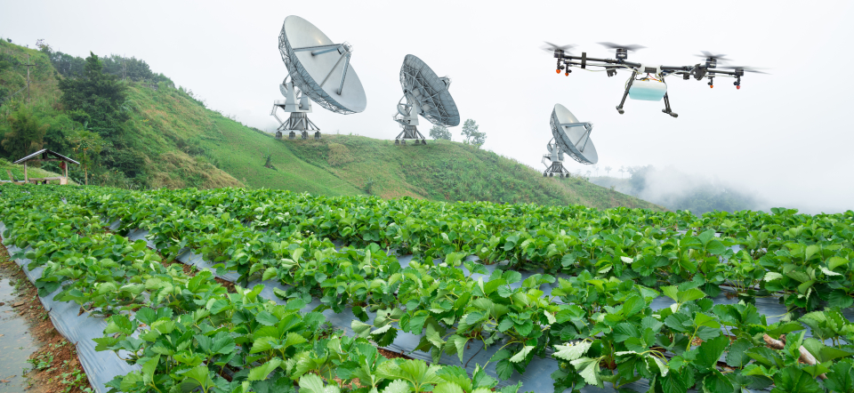
How are drones and satellites connected to the food we eat in the Nordics and Baltics?
The research project Upscaling crop performance monitoring by linking satellite and field biosignatures (UPSCALE) utilizes satellite and drone imaging of fields combined with phenotyping data from the plants for better yield prediction.
UPSCALE focuses on timothy, red clover, spring and winter wheat, spring barley and potato crops. The projects looks at phenotypic factors such as soil moisture content and plant height as well as SPAD readings, UAV imagery and spectral data at two-week intervals during the growing season and biomass, yield, and seed nutrient content at the end of the season. For two years, the researchers have collected the data in Lithuania, Norway, Sweden, and Finland.
“We are doing a multi-level data set collection from fields in the countries simultaneously during similar growth stages so that the data is comparable. We want to upscale the use of phenotypic data and the analysis of it. Our idea is to improve future prediction of yield of different crops in the changing climate conditions in the northern regions by connecting remote sensing data with the physiology of the plant”, explains project leader Sajeevan Radha Sivarajan.
He is a researcher in the Department of Plant Protection Biology at the Swedish University of Agricultural Sciences, SLU. Other partners of the project are the Lithuanian Research Centre for Agriculture and Forestry (LAMMC), Lund University in Sweden, University of Helsinki in Finland and UiT The Arctic University of Norway. The University of Copenhagen in Denmark and the Norwegian Institute of Bioeconomy Research (NIBIO) in Norway are associated partners.
The project is also collaborating with a field-level information system for smart collection of plant data called PHIS, which is a common open data platform developed by INRAE in France.
“We are developing base line data standards for the plant phenotype data we have collected. Quite a lot of people are phenotyping and a lot of data sets are coming out. But we are not able to integrate all these data sets because each one is having its own standards for developing it. Farmers nowadays use all types of gadgets and can, in the future, use the open data platform to set up parameters for prediction or just scan a plant with their mobile phone to see what deficiency it has. But for the predictions to be accurate, we need much more standardization across the regions. We hope that our project can contribute to this development”, Sajeevan says.
Yield prediction with satellites
Satellite images and drone images of fields help the researchers see how the microclimatic conditions for a region influence crop performance. The images also help with the analysis of the so-called leaf area index (LAI), an important measure that determines crop growth rate, and the chlorophyll content which indicates the plants’ health.
The researchers are also collecting leaf samples from the fields and analyse them with enzymatic assays, which can show how the plant physiologically responds to different climatic conditions, whether it be a drought, a high heat condition or the soil properties.
“Mainly, we have established a method to accurately estimate the leaf area index and chlorophyll content both at leaf and canopy levels at the field scale and across the different crop growth stages using our imaging methods. The spatially accurate quantification of these crop canopy parameters is an important input in developing better yield prediction models. We are trying to find some molecular markers connected to healthy plants based on the data. These markers can then be used for breeding and the prediction of future yields”, says Sajeevan.
Collaboration over disciplinary borders
As the images from satellites are multi-dimensional and carry huge data value, the project is looking at how artificial intelligence and machine learning can help process the data analysis. Connecting plant biology to other disciplines like remote sensing and AI computer science has been one of the UPSCALE project’s strong suits.
“Looking at all our partners, we have quite in-depth knowledge in areas like plant phenotyping and multispectral and hyperspectral imaging techniques. It has been interesting to discuss and share knowledge between all these different groups of people. While we as plant biologist look at how the plant reacts to stresses, the remote sensing people can give us lots of data on the conditions causing the stress. Bringing together plant physiology, remote sensing and machine learning, helps in building interesting, powerful prediction models, which will not only support crop performance predications, but also the breeding programs in the long run in the Nordics and Baltic regions”, says Sajeevan.


